Jakob Frank · 19 October 2026
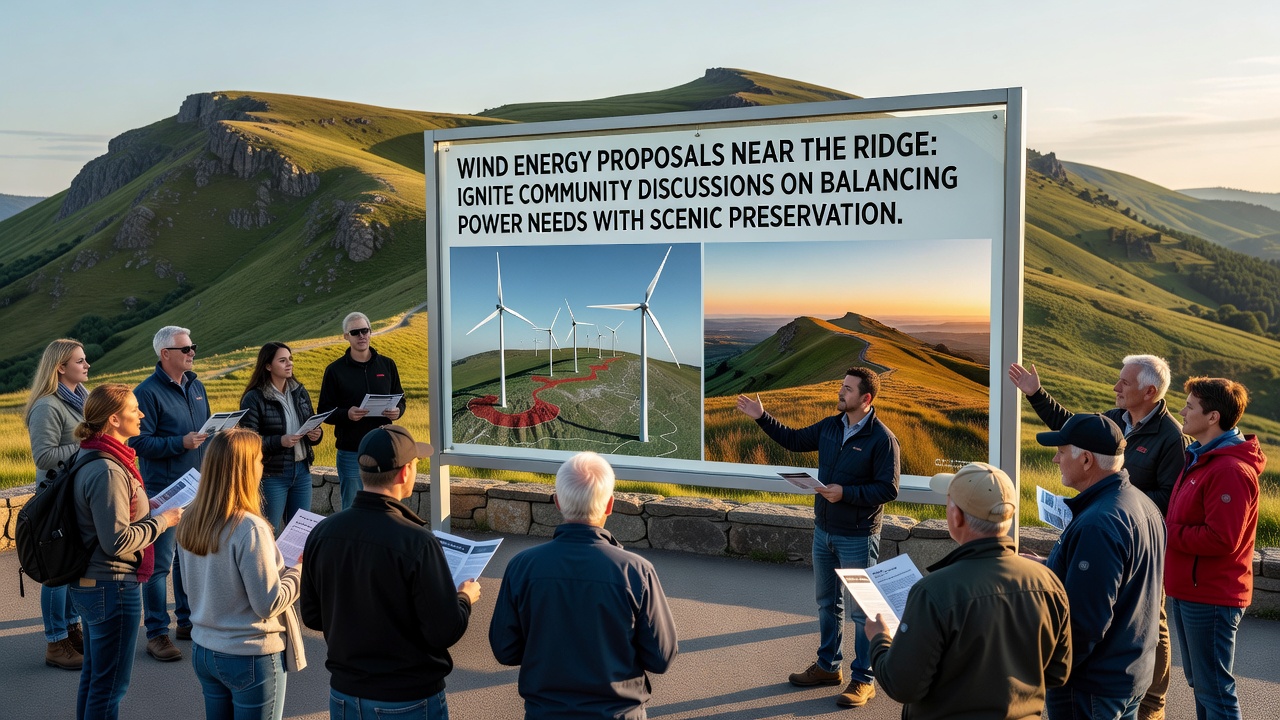
Wind Energy Proposals Near the Ridge Ignite Community Discussions on Balancing Power Needs With Scenic Preservation
Wind energy proposals near Duskridge ridge have drawn residents, local officials, and environmental groups into extended conversations about meeting growing electricity demands while protecting the area's distinctive viewsheds, and these talks have intensified ahead of scheduled public forums in October 2026. Data from regional utility reports show electricity consumption in the surrounding counties rising steadily over the past decade, prompting developers to identify elevated sites along the ridge for turbine arrays that could generate several hundred megawatts annually.
Project documents filed with state regulators outline plans for up to twelve turbines, each standing approximately 150 meters tall at the hub, positioned on parcels that avoid direct overlap with protected forest corridors yet sit within sightlines used by hikers and photographers. According to U.S. Department of Energy analyses of similar installations, such configurations can offset substantial carbon emissions when connected to the existing grid, though transmission line extensions would require additional permitting reviews.
Local Power Requirements and Regional Energy Trends
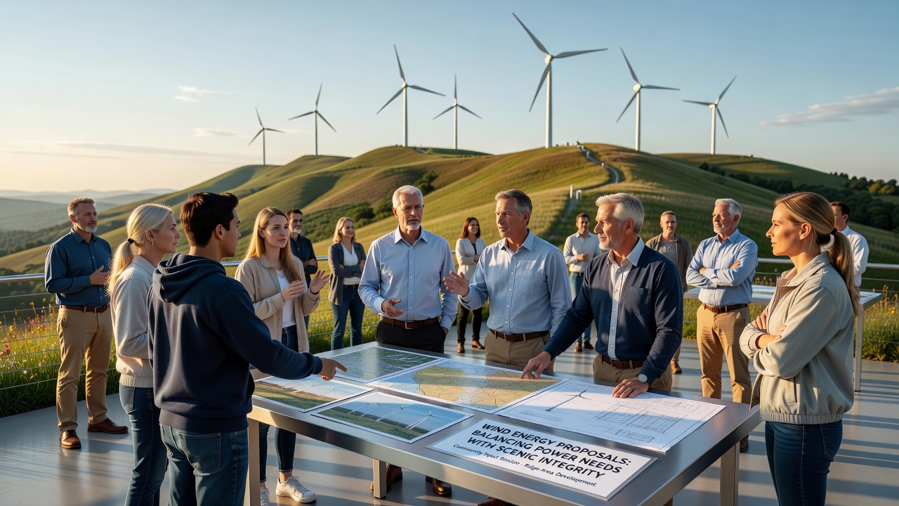
Utility forecasts indicate that peak demand periods during summer months have increased by roughly 12 percent since 2020, driven by population growth and expanded data center operations farther down the valley. Those who've examined the filings note that wind resources along the ridge average wind speeds sufficient for capacity factors above 35 percent, a figure that aligns with output records from comparable projects in the Appalachian foothills. Community workshops held earlier this year featured presentations on these metrics alongside maps illustrating how turbine placement might alter the horizon from key overlooks.
State energy plans released in 2025 emphasize a target of 40 percent renewable generation by 2035, and ridge-adjacent proposals fit within broader strategies that include solar arrays and battery storage at lower elevations. Figures released by the North American Electric Reliability Corporation highlight the role of distributed wind in reducing transmission congestion during high-load events, yet the documents also flag the need for updated avian monitoring protocols given seasonal migration corridors that cross the proposed sites.
Scenic Preservation Priorities and Visual Impact Studies
Visual simulations prepared for the environmental review process depict turbine blades rotating against sunsets that currently draw visitors to the ridge trails, and these renderings have become central to discussions about whether setback distances or height restrictions could mitigate the changes. Research compiled by university landscape architecture programs shows that perceived scenic quality often declines when vertical elements exceed the scale of surrounding vegetation, prompting some participants to suggest underground cabling and low-reflectivity coatings as standard mitigation measures.
Preservation advocates have referenced conservation easements already in place on adjacent parcels, which limit development to maintain habitat connectivity for species such as the cerulean warbler. Data collected over multiple years by regional ornithological societies indicate consistent flight paths at elevations that could intersect with rotor-swept zones, leading developers to commit to radar-activated curtailment systems that pause operations during peak migration windows. Those who've reviewed similar systems at installations in the Midwest report detection rates exceeding 90 percent, though long-term effectiveness depends on consistent maintenance and calibration.
Regulatory Timeline and Stakeholder Input Processes
The permitting sequence calls for draft environmental impact statements to be released by late summer 2026, followed by hearings throughout October that will gather testimony from property owners, tourism operators, and tribal representatives whose ancestral lands encompass parts of the ridge. Guidelines issued by the Bureau of Land Management for projects on or near federal parcels stress cumulative effects analysis, requiring developers to model combined visual and noise impacts from multiple turbines rather than evaluating them in isolation.
Local zoning boards have already received petitions requesting additional buffers along popular trail segments, and these requests reference acoustic studies showing low-frequency sound propagation patterns that vary with topography. Evidence gathered at operating wind facilities in similar terrain suggests that sound levels remain below most regulatory thresholds beyond 1.5 kilometers, yet residents living in hollows directly downslope have expressed interest in real-time monitoring programs once construction begins.
Conclusion
Discussions continue as more technical reports become available, with participants examining trade-offs between expanded renewable capacity and the retention of unaltered ridgelines that define the local character. The October 2026 forums are expected to incorporate updated modeling on both energy output projections and visual resource assessments, providing a structured setting for all parties to refine the proposals before final decisions are reached by state and federal agencies.