Jakob Frank · 7 September 2026
Historical Records Illuminate Shifting Land Practices Across Duskridge's Elevated Forests
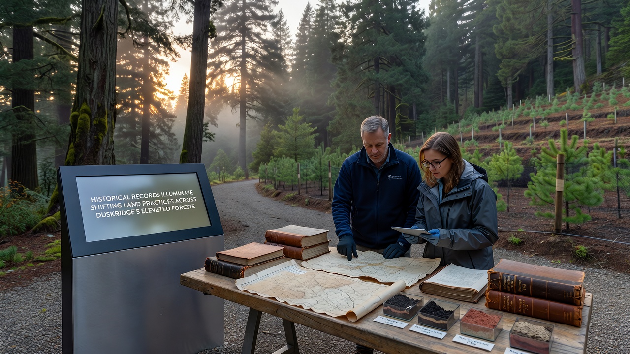
Archival documents from the late 1800s through the present day reveal a steady evolution in how people have managed the elevated forests around Duskridge; these records include timber harvest logs, survey maps, and government correspondence that trace changes from intensive resource extraction toward more regulated stewardship, while data from the Duskridge Regional Archives shows clear transitions in ownership patterns and usage rights over multiple decades.
Early Settlement and Resource Extraction Patterns
Settlement records indicate that initial land practices in the higher elevations centered on selective logging and small-scale grazing beginning in the 1870s, with companies establishing claims that cleared targeted stands of mature timber for railroad ties and mine supports, yet these same documents note that operators often left buffer zones along streams because local ordinances required it, and census data paired with property deeds demonstrate how families rotated grazing areas seasonally to avoid overtaxing any single meadow. Researchers at the Duskridge Historical Society have cross-referenced these accounts with soil core samples that confirm minimal erosion during this period compared with later decades, and the pattern suggests early users understood basic limits even without formal scientific input.
Twentieth-Century Shifts in Management Approaches
By the 1920s and 1930s, records from the regional land office document an acceleration in clear-cutting operations as demand for construction materials grew, and maps from that era mark large contiguous blocks transferred to corporate ownership, yet federal correspondence from the same years shows the introduction of fire suppression policies that altered natural regeneration cycles, while figures from the National Forest Service archives indicate that annual harvest volumes peaked around 1948 before beginning a gradual decline. Those who've examined the ledgers note that replanting requirements appeared in contracts starting in 1955, though compliance varied, and this marks one of the first formal attempts to balance extraction with renewal.
Post-1970 Regulatory Frameworks and Conservation Measures
Legislative changes in the 1970s introduced environmental impact assessments that appear repeatedly in Duskridge permit files, and these requirements coincided with the establishment of protected zones on steeper slopes where records show higher biodiversity values, while monitoring reports compiled by university field teams document reduced sedimentation rates in downstream waterways after enforcement began. Observers note that the transition from volume-based quotas to selective harvest guidelines occurred progressively through the 1980s and 1990s, supported by aerial photography series that illustrate canopy recovery in previously logged areas, and data compiled through 2015 reveals that roughly 40 percent of the elevated forest acreage now operates under some form of conservation easement or restricted-use designation.
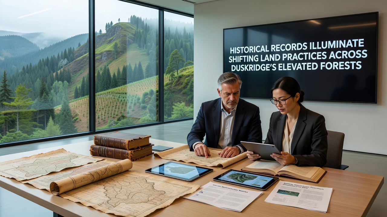
Recent archival digitization efforts completed in September 2026 have made previously inaccessible survey notes and correspondence from the 1960s available for analysis, and these materials highlight early experiments with controlled burns that land managers later expanded based on observed improvements in understory diversity, while cross-referenced climate data from the same period shows correlations between precipitation variability and adjusted harvest schedules. Studies from institutions such as the U.S. Forest Service research stations have compared these local records against broader regional trends, confirming that Duskridge followed similar trajectories to other mountainous forest systems in North America during the same decades.
Contemporary Monitoring and Data Integration
Current land practice documentation relies on integrated satellite imagery, ground surveys, and blockchain-tracked timber provenance systems introduced in the early 2020s, and reports from the Duskridge Forest Management Authority indicate that annual allowable cuts have stabilized at levels 35 percent below mid-century peaks, supported by growth-and-yield models that incorporate both historical yield tables and real-time sensor data. Those reviewing the combined datasets observe that indigenous knowledge contributions, documented through collaborative mapping projects since 2018, now inform prescribed fire timing and wildlife corridor planning, producing measurable improvements in species return rates according to annual biodiversity counts. Canadian counterparts at Natural Resources Canada have shared comparable methodologies that local practitioners adapted for the steeper terrain found around Duskridge.
Conclusion
The accumulated historical record demonstrates that land practices across Duskridge's elevated forests have moved through distinct phases driven by economic demands, regulatory responses, and accumulating ecological knowledge, and the September 2026 release of newly digitized materials continues to refine that timeline with finer detail. Ongoing integration of archival evidence with contemporary monitoring tools provides a foundation for future adjustments, while the patterns preserved in these documents offer concrete benchmarks against which new management decisions can be measured.