Jakob Frank · 5 October 2026
Atmospheric Records Emerge from Decades of Sunset Observations Across Duskridge Ridges
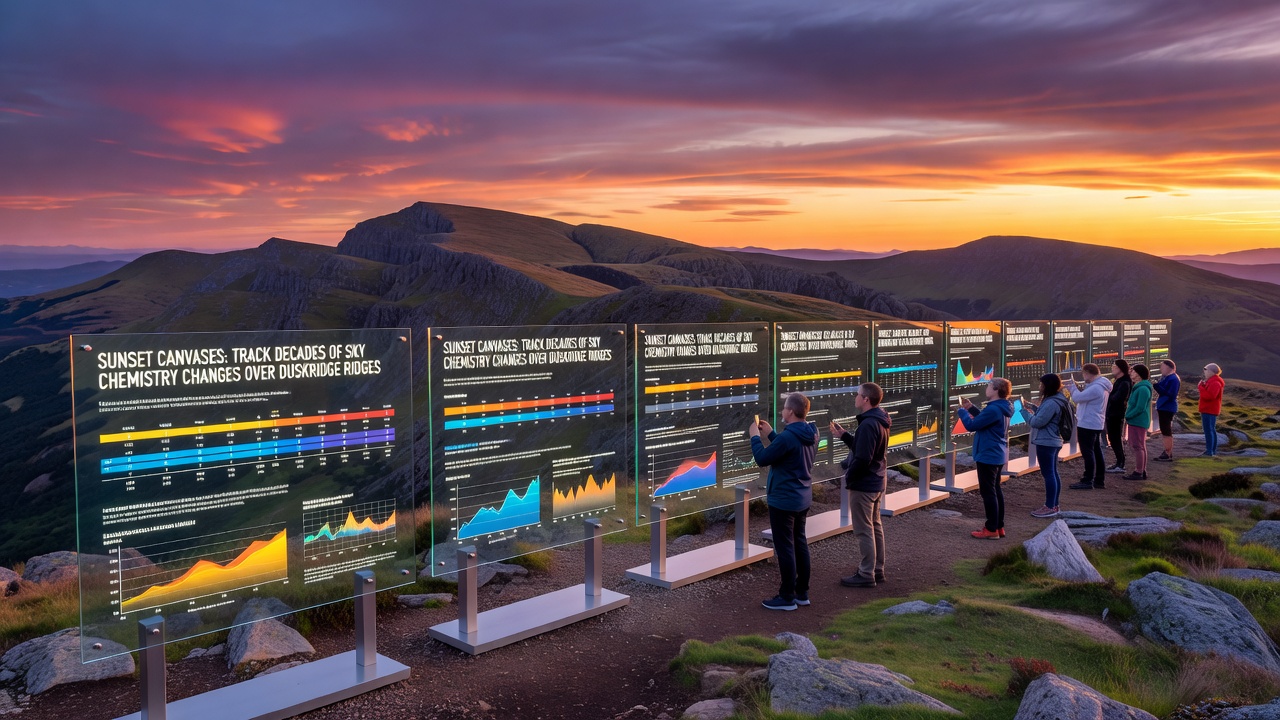
Researchers have compiled extensive photographic archives and spectral measurements from Duskridge Ridges that document shifts in sky chemistry spanning more than forty years, and these records rely on the visual and instrumental analysis of sunset events to detect changes in aerosol concentrations, particulate matter, and trace gases. Observers at multiple ridge-top stations have captured daily images since the early 1980s, while simultaneous spectrometer readings quantify the scattering and absorption properties of the atmosphere at twilight, and the resulting datasets reveal gradual increases in certain pollutants alongside episodic spikes tied to volcanic activity and regional wildfire seasons.
Methods Behind the Long-Term Monitoring Program
Teams at Duskridge field sites employ standardized protocols that combine high-resolution digital photography with ground-based sun photometers, and these instruments record aerosol optical depth values at multiple wavelengths during the hour before sunset each evening. Data processing pipelines then correlate color saturation levels in the captured images with measured particle sizes and compositions, which allows analysts to reconstruct historical trends even from older film-based records that predate digital sensors. Calibration routines account for seasonal variations in solar angle and humidity, and cross-checks against satellite retrievals from instruments such as MODIS confirm the ground observations remain consistent across decades.
One study released in October 2026 presented updated time series that extend through the preceding twelve months and highlight a measurable rise in fine-mode aerosols during autumn months, while coarser particles linked to dust events show more variable patterns that align with drought indices for the broader mountain region. Analysts attribute part of the fine-particle increase to intensified wildfire seasons farther west, yet they also note contributions from distant industrial sources whose emissions travel along prevailing upper-level winds.
Key Findings on Chemical Composition Trends
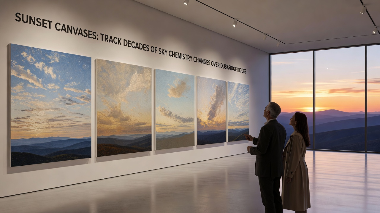
Analysis of the multi-decade archive shows that sunset color intensity, particularly in the red-orange spectrum, has strengthened during periods of elevated sulfate aerosols, and this pattern matches independent records from the U.S. Environmental Protection Agency that document sulfur dioxide emission reductions followed by renewed contributions from biomass burning. In contrast, episodes of deep crimson or purple hues often coincide with elevated organic carbon levels measured after major fire events, and researchers have isolated these signatures by subtracting background optical depths recorded on clear evenings. The October 2026 report further indicates that nitrogen dioxide columns derived from differential optical absorption spectroscopy have declined since the mid-2000s at the Duskridge sites, a change that aligns with stricter vehicle emission standards implemented across western states.
Additional parameters tracked include ozone concentrations near the surface and water vapor profiles that influence scattering efficiency, and these variables help refine models that separate anthropogenic signals from natural variability. Observers note that the frequency of vivid green-flash phenomena at the moment of solar disappearance has remained stable, suggesting that boundary-layer refractive conditions have not shifted dramatically despite the documented aerosol changes.
Integration with Regional and Global Datasets
Collaborations with the European Environment Agency have allowed Duskridge teams to compare their twilight measurements against similar long-term series collected in the Alps and Pyrenees, and the combined records strengthen statistical confidence in attributing certain trends to hemispheric-scale transport rather than purely local sources. Meanwhile, researchers from Australian universities have contributed complementary data from comparable ridge environments in the Great Dividing Range, which helps isolate the influence of southern-hemisphere biomass burning on northern mid-latitude sunsets. These cross-continental linkages rely on shared data formats and joint validation exercises that occur at regular intervals.
Field crews also maintain meteorological towers that log wind speed, temperature inversions, and precipitation at the same locations as the optical instruments, and the merged meteorological and chemical records support trajectory modeling that traces individual air parcels back to their likely source regions. Such modeling has proven especially useful during the intense fire seasons of 2018, 2021, and 2025, when distinct plumes crossed the ridges and produced measurable anomalies in both spectral data and photographic archives.
Conclusion
The Duskridge sunset monitoring program continues to supply high-resolution evidence of evolving atmospheric composition, and the October 2026 update extends the unbroken record that now exceeds four decades. Continued operation of the ridge-top stations will allow future comparisons against emerging emission scenarios, while ongoing refinements in instrumentation promise even finer discrimination between particle types and their vertical distributions. The archive remains publicly accessible through institutional repositories, enabling independent researchers to test new retrieval algorithms against the same validated ground truth.